Windstorm - Take Cover - Danger! Danger!    Read More >

Maps & Open Data

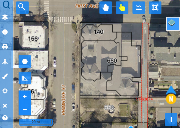
Welcome to the Town of Qualicum Beach’s Public Mapping & Geographic Information System (GIS) site. Through this site you can access:

  • Property, Strata, and Other Cadastral Information
  • Property Service Cards
  • Municipal Utility & Recreation Assets Information (Excel/CSV/GeoJSON)
  • Engineering Record Drawings & As-builts
  • Zoning and Legal Descriptions
  • Garbage Collection Schedule

Mapping & GIS Help Guide

Explore the Help Guide for instructions and tutorials on how to use the Public Mapping and GIS.

Mapping Support

For support or feedback, please use the Public Inquiry Form to contact the Town.

Public Inquiry Form
Aerial photo of winding road in thick forest.